Introduction
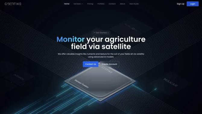
Cybertiks is an innovative AI tool that harnesses the power of remote sensing and agtech to deliver comprehensive agricultural analysis. By integrating satellite data with advanced AI, Cybertiks offers a robust solution for monitoring and assessing fields globally. Users can input field coordinates and receive regular updates every 7 days, gaining access to historical insights, nutrient levels, soil texture analysis, and more. The platform's user interface is designed for ease of use, allowing users to navigate through data presentation methods with convenience. Cybertiks' AI tool, QSIS, stands out with its thermodynamic and quantum-enabled capabilities for mineral element detection and classification.
background
Cybertiks S.A de C.V. is a company at the forefront of precision agriculture and sustainable farming practices. With a focus on AI accuracy and client-tailored solutions, Cybertiks has developed a suite of tools that cater to the needs of agricultural consultants, farmers, research scientists, and government agricultural agencies. The company's commitment to innovation is evident in its continuous development of new features and services, aimed at enhancing the efficiency and effectiveness of agricultural practices worldwide.
Features of Cybertiks
Field Monitoring
Global agriculture field monitoring through satellite imagery.
AI Analysis
Utilization of advanced AI models for nutrient level and soil texture analysis.
Regular Updates
Delivery of regular analysis updates every 7 days with historical insights.
Sensor Fusion
Integration of multiple data sources for a comprehensive strategic vision.
QSIS Tool
AI tool for mineral element detection, classification, and quantification using thermodynamic and quantum AI.
How to use Cybertiks?
To use Cybertiks, start by signing up on the platform and providing your field coordinates. Once your account is set up, you will receive regular updates on your field's status, including nutrient levels and soil analysis. The platform's intuitive interface guides you through data interpretation and strategic decision-making.
Innovative Features of Cybertiks
Cybertiks' innovative approach lies in its integration of satellite imagery with AI, providing an 80% accurate analysis of fields remotely. The tool's sensor fusion capability and quantum-enabled AI for QSIS set it apart in the field of agricultural analysis.
FAQ about Cybertiks
- How do I sign up for Cybertiks?
- Visit the Cybertiks Sign up Link and follow the registration process.
- What is the pricing for Cybertiks services?
- Pricing details can be found on the Cybertiks Pricing Link.
- How often do I receive field analysis updates?
- Users receive regular updates every 7 days.
- How accurate is the analysis provided by Cybertiks?
- Cybertiks ensures an accuracy of 80% in its analysis.
- Can I get support if I have trouble using Cybertiks?
- Yes, Cybertiks offers customer support which can be contacted through the 'Contact Us' page.
Usage Scenarios of Cybertiks
Academic Research
Cybertiks can be used to monitor and analyze large-scale agricultural fields for research purposes.
Farm Management
Farmers can utilize Cybertiks for day-to-day field management and decision-making.
Resource Management
Government agencies can use the tool for resource allocation and carbon credit management.
Sustainable Practices
Cybertiks supports sustainable farming by providing insights into carbon farming and soil health.
User Feedback
Users have reported high satisfaction with Cybertiks' accuracy and convenience in delivering field analysis.
Farmers appreciate the tool's ability to monitor fields remotely and provide actionable insights.
Agricultural consultants have praised Cybertiks for its innovative use of AI and satellite imagery.
Clients have expressed satisfaction with the tailored software development services offered by Cybertiks.
others
Cybertiks has been recognized for its commitment to advancing sustainable agriculture through its AI-powered analysis platform. The company's dedication to client-tailored solutions and innovative projects has positioned it as a leader in the field of precision agriculture.
Useful Links
Below are the product-related links, I hope they are helpful to you.
